
The Carneddau traverse
Seven Welsh 3000s across the wild Carneddau, from Ogwen to the Aber Falls.
- Distance
- 21.8 km
- Ascent
- 1200 m
- Time
- 7–9.5 h
- Grade
- Hard
- Route
- Linear
- High point
- 1062 m
Drag along the profile to see where you are on the map.
Offline navigation is coming in the TRXO app. Hear when it launches.
Route mapped on from OpenStreetMap paths, with heights from EU-DEM terrain data; not yet checked on the ground by TRXO. Added to TRXO on . For planning only: always navigate with an up-to-date map such as OS Explorer or Harvey. How we make our routes.
About this walk
The Carneddau traverse is a hard 21.8 km linear walk with 1,200 m of ascent, taking 7 to 9.5 hours. It starts at Ogwen, A5 (grid reference SH 648 603). It climbs 7 listed hills, the highest Carnedd Llewelyn at 1,062 m. The start can be reached by public transport.
The Carneddau are the biggest area of high ground in Wales, broad and wild, grazed by herds of semi-wild ponies. The route starts with the relentless climb of Pen yr Ole Wen from Ogwen, then follows the high ridge over Carnedd Dafydd to Carnedd Llewelyn, the third-highest summit in Wales, with a detour to Yr Elen.
It continues north over Foel Grach, Carnedd Gwenllian (Garnedd Uchaf) and Foel Fras, then drops to finish at Rhaeadr Fawr, the Aber Falls. It's a one-way route: buses on the A55 serve Abergwyngregyn.
Route
-
1
Pen yr Ole Wen
Climb steeply from Ogwen up the south ridge of Pen yr Ole Wen.
-
2
Carnedd Dafydd and Llewelyn
Follow the ridge over Carnedd Dafydd to Carnedd Llewelyn, with a detour to Yr Elen.
-
3
The northern tops
Continue north over Foel Grach, Carnedd Gwenllian and Foel Fras.
-
4
Aber Falls
Descend to Rhaeadr Fawr and follow the valley to Abergwyngregyn.
Summits
979 m
1045 m
1062 m
963 m
975 m
925 m
944 m
On the way
-
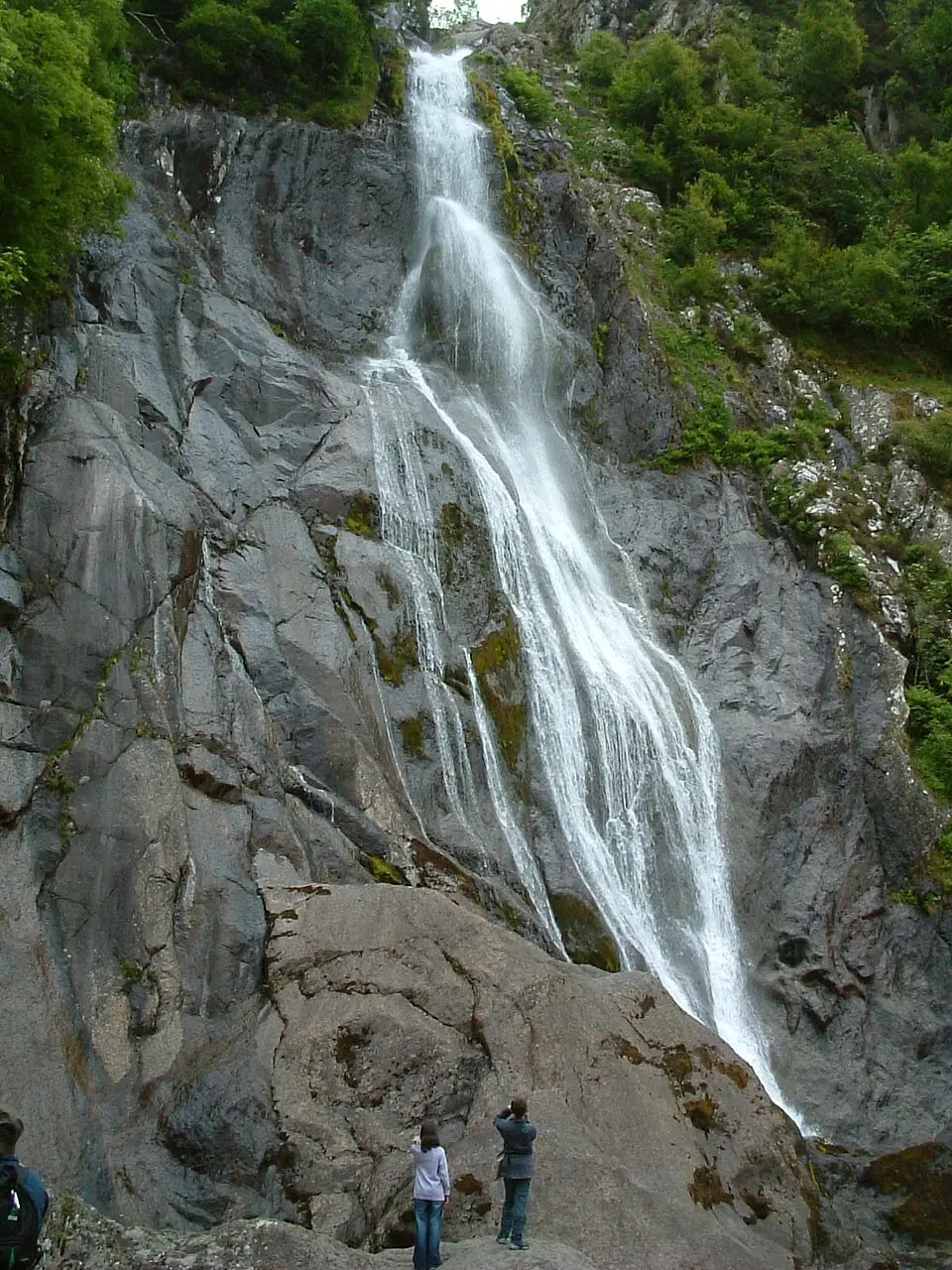 Aber Falls
Waterfall · on the route
Other routes up these hills
Questions about this walk
- How long does The Carneddau traverse take?
- Most walkers take 7–9.5 hours for the 21.8 km route, which has 1,200 m of ascent. That allows for short stops; give yourself longer in winter, in poor weather or with a group.
- Where does the walk start, and where can I park?
- It starts at Ogwen, A5 (grid reference SH 648 603). Pay and display at Ogwen. The route finishes at Abergwyngregyn, near Bangor.
- Can I get there by public transport?
- Sherpa'r Wyddfa buses link the valleys around Yr Wyddfa, Ogwen and Capel Curig. Buses on the A55 stop at Abergwyngregyn. Check times on Traveline Cymru.
- How hard is it?
- It's graded hard. A very steep, rocky first climb; then broad, stony ridges and a grassy descent.
- Which hills does it climb?
- Carnedd Llewelyn (1062 m, Hewitt, Welsh 3000); Carnedd Dafydd (1045 m, Hewitt, Welsh 3000); Pen yr Ole Wen (979 m, Hewitt, Welsh 3000); Foel Grach (975 m, Hewitt, Welsh 3000); Yr Elen (963 m, Hewitt, Welsh 3000); Foel-fras (944 m, Hewitt, Welsh 3000); Garnedd Uchaf (925 m, Hewitt, Welsh 3000).
- Can I take my dog?
- Yes, dogs are welcome on this walk. Before you go: Sheep graze the hills: keep dogs on a lead, especially at lambing time (March to May).
Walked this? Tell the next walker
No reviews, condition reports, walkers' photos or trip reports for this walk yet. Yours would be the first.


