
The Yorkshire Three Peaks
Pen-y-ghent, Whernside and Ingleborough in one long day, past the Ribblehead Viaduct.
- Distance
- 34.3 km
- Ascent
- 1460 m
- Time
- 10–14 h
- Grade
- Hard
- Route
- Circular
- High point
- 737 m
Drag along the profile to see where you are on the map.
Offline navigation is coming in the TRXO app. Hear when it launches.
Route mapped on from OpenStreetMap paths, with heights from EU-DEM terrain data; not yet checked on the ground by TRXO. Added to TRXO on . For planning only: always navigate with an up-to-date map such as OS Explorer or Harvey. How we make our routes.
About this walk
The Yorkshire Three Peaks is a hard 34.3 km circular walk with 1,460 m of ascent, taking 10 to 14 hours. It starts at Horton-in-Ribblesdale (grid reference SD 809 722). It climbs 3 listed hills, the highest Whernside at 737 m. The start can be reached by public transport.
The Three Peaks is one of England's best-known challenges: around 24 miles and three summits, traditionally done in under 12 hours. It starts from Horton-in-Ribblesdale with the steep climb of Pen-y-ghent, then crosses the moors to the Ribblehead Viaduct and climbs Whernside, the highest point in Yorkshire.
The last climb is up Ingleborough's stepped path to its flat summit, an Iron Age hillfort, before the long descent back to Horton. The paths are heavily used, so please stay on them to help with erosion.
Route
-
1
Pen-y-ghent
Climb from Horton by Brackenbottom and up the steep nose of Pen-y-ghent.
-
2
Whernside
Cross the moors to the Ribblehead Viaduct and climb Whernside.
-
3
Ingleborough
Drop to Chapel-le-Dale, climb Ingleborough's steps and return across the limestone to Horton.
Summits
On the way
-
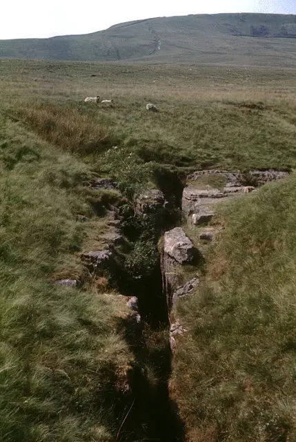 Juniper Gulf
Cave · 500 m from the route
-
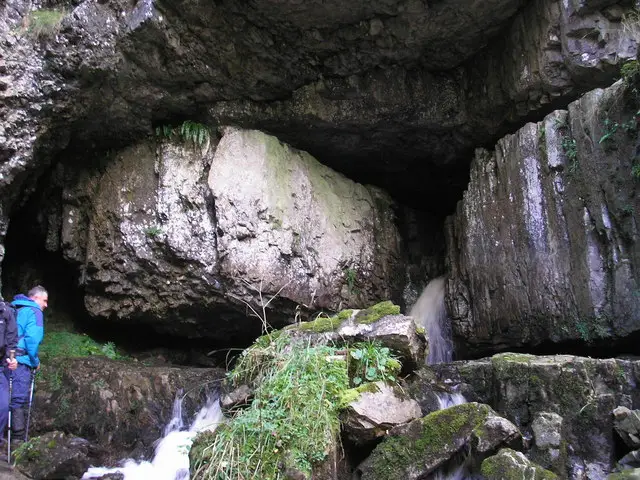 Great Douk Cave
Cave · 700 m from the route
Other routes up these hills
Questions about this walk
- How long does The Yorkshire Three Peaks take?
- Most walkers take 10–14 hours for the 34.3 km route, which has 1,460 m of ascent. That allows for short stops; give yourself longer in winter, in poor weather or with a group.
- Where does the walk start, and where can I park?
- It starts at Horton-in-Ribblesdale (grid reference SD 809 722). Pay car park in Horton; it fills early on summer weekends.
- Can I get there by public transport?
- Horton-in-Ribblesdale station on the Settle–Carlisle line. Check times on Traveline.
- How hard is it?
- It's graded hard. Well-made paths and flagstones, steep rocky steps on Pen-y-ghent and Ingleborough, and boggy moorland between.
- Which hills does it climb?
- Whernside (737 m, Hewitt); Ingleborough (723 m, Hewitt); Pen-y-ghent (694 m, Hewitt).
- Can I take my dog?
- Yes, dogs are welcome on this walk. Before you go: Sheep graze the fells and moors: keep dogs on a lead near livestock, especially at lambing time (March to May).
Walked this? Tell the next walker
No reviews, condition reports, walkers' photos or trip reports for this walk yet. Yours would be the first.


