

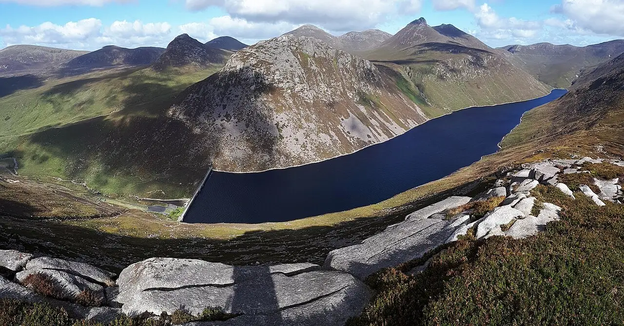
Hewitt
Marilyn
- Height
- 746 m · 2,447 ft
- Drop
- 351 m
- Grid ref
- J 320 233
- Range
- Mourne Mountains
- County
- Newry, Mourne and Down
Summit: Not recorded.
Slieve Binnian is a Hewitt in Mournes & Ring of Gullion, 746 m (2,447 ft) high. There is one mapped route up it on TRXO; the one with the least climbing, Slieve Binnian from Carrick Little, is 7.5 km with 650 m of ascent and takes 3 to 4 hours.
Routes up Slieve Binnian
Rounds that include Slieve Binnian (1)
Map
Summit at J 320 233 (54.1419, -5.9800). Dots are neighbouring listed hills.
Nearby hills
Questions about Slieve Binnian
- How high is Slieve Binnian?
- Slieve Binnian is 746 m (2,447 ft) high, a Hewitt in Mournes & Ring of Gullion. The summit is at grid reference J 320 233.
- How long does it take to climb Slieve Binnian?
- The quickest route on TRXO, Slieve Binnian from Carrick Little, takes 3 to 4 hours: 7.5 km with 650 m of ascent. Allow longer in poor weather or winter conditions.
- What is the easiest way up Slieve Binnian?
- The route with the least climbing is Slieve Binnian from Carrick Little, starting from Carrick Little car park (SB 413 776): 7.5 km and 650 m of ascent, graded moderate.