
Northern Ireland
Walks and hills in the Mournes & Ring of Gullion
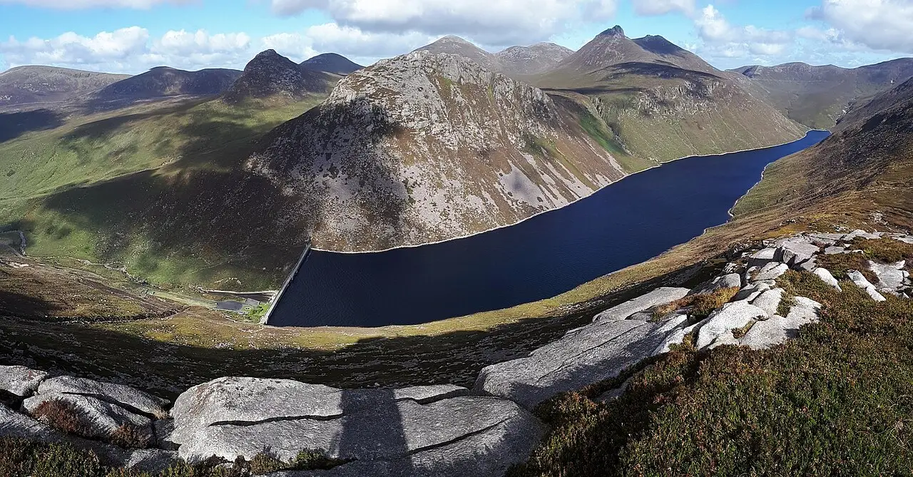
The granite Mournes ringed by the Mourne Wall, and the ancient ring dyke of Slieve Gullion in south Armagh.
17 walks
Filter these walks


Moderate
·
New
Slieve Gullion from the forest park
Slieve Gullion Forest Park
3 km · 170 m · 1–1.5 h


Guides featuring Mournes & Ring of Gullion
All guides- Guide · 9 walksWalks near Belfast you can do by bus or trainNine walks from the city without a car: a hill above the docks, the Lagan, the Mournes from Newcastle and the Causeway Coast.
- Guide · 9 walksThe best coastal walks in Northern IrelandNine walks on the finest coast in Ireland, from the Causeway cliffs to the dunes under the Mournes.
Mournes & Ring of Gullion at a glance
17 routes and 14 Hewitts, with Slieve Donard the highest at 850 m.
Good first walks
- Hen Mountain · 2.3 km · 220 m
- Castle Ward and Strangford Lough · 2.5 km · 10 m
- Slieve Gullion from the forest park · 3 km · 170 m
By train, bus or ferry
- Slieve Donard by the Glen River · 9 km · 850 m
- Slieve Commedagh from Donard Park · 9.7 km · 800 m
- Armagh: the Mall to Navan Fort · 8.2 km · 40 m
Big days out
- Slieve Bearnagh and the Meels · 9.3 km · 850 m
- Slieve Commedagh from Donard Park · 9.7 km · 800 m
- Slievelamagan and Cove Mountain · 18.6 km · 800 m
Highest hills
- Slieve Donard · 850 m
- Slieve Commedagh · 767 m
- Slieve Binnian · 746 m
- Slieve Bearnagh · 739 m
- Slieve Meelbeg · 702 m