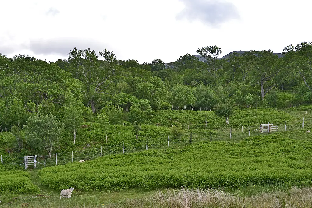
Rassal Ashwood
The most northerly ashwood in Britain, on a limestone knoll below the Applecross hills.
- Distance
- 2.1 km
- Ascent
- 100 m
- Time
- 0.5–1 h
- Grade
- Easy
- Route
- Out and back
- High point
- 115 m
Drag along the profile to see where you are on the map.
Offline navigation is coming in the TRXO app. Hear when it launches.
Route mapped on from OpenStreetMap paths, with heights from EU-DEM terrain data; not yet checked on the ground by TRXO. Added to TRXO on . For planning only: always navigate with an up-to-date map such as OS Explorer or Harvey. How we make our routes.
About this walk
Rassal Ashwood is an easy 2.1 km out-and-back walk with 100 m of ascent, taking 0.5 to 1 hours. It starts at Rassal lay-by (grid reference NG 841 441).
Rassal is a small national nature reserve above Loch Kishorn, where ash trees grow on an outcrop of limestone, the most northerly ashwood in Britain. The ground under the old, gnarled trees is bright with flowers in early summer, and the view takes in Loch Kishorn and the road up to the Bealach na Bà.
Route
-
1
The ashwood
Follow the track up to the wood, wander through it, and return.
Summit
Questions about this walk
- How long does Rassal Ashwood take?
- Most walkers take 0.5–1 hours for the 2.1 km route, which has 100 m of ascent. That allows for short stops; give yourself longer in winter, in poor weather or with a group.
- Where does the walk start, and where can I park?
- It starts at Rassal lay-by (grid reference NG 841 441). Lay-by on the A896 north of Kishorn, at the start of the track.
- Can I get there by public transport?
- No practical public transport.
- How hard is it?
- It's graded easy. A track, then grassy paths, rocky and wet in places.
- Can I take my dog?
- Yes, dogs are welcome on this walk. Before you go: Sheep graze here: keep dogs on a lead near livestock, especially at lambing time (March to May).
Walked this? Tell the next walker
No reviews, condition reports, walkers' photos or trip reports for this walk yet. Yours would be the first.


