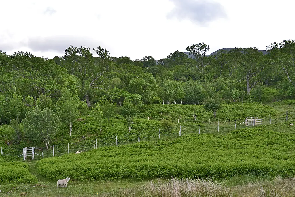
Beinn Bhan and Sgurr a' Chaorachain
2 Corbetts in Torridon & Applecross, climbed together from Coire nan Cuileag.
- Distance
- 13 km
- Ascent
- 900 m
- Time
- 4.5–6 h
- Grade
- Hard
- Route
- Circular
- High point
- 896 m
Drag along the profile to see where you are on the map.
Offline navigation is coming in the TRXO app. Hear when it launches.
Route mapped on from OpenStreetMap paths, with heights from EU-DEM terrain data; not yet checked on the ground by TRXO. Added to TRXO on . For planning only: always navigate with an up-to-date map such as OS Explorer or Harvey. How we make our routes.
About this walk
Beinn Bhan and Sgurr a' Chaorachain is a hard 13 km circular walk with 900 m of ascent, taking 4.5 to 6 hours. It starts at Coire nan Cuileag, Bealach na Bà (grid reference NG 773 427). It climbs 2 listed hills, the highest Beinn Bhan at 896 m.
Beinn Bhan and Sgurr a' Chaorachain are Corbetts in Torridon & Applecross, close enough to climb together. The higher, Beinn Bhan, reaches 896 m (2,939 ft). It stands well clear of the hills around it, so the summit view is a wide one.
This route starts from Coire nan Cuileag, Bealach na Bà and crosses a lot of pathless hillside, so you'll need to navigate with a map and compass. It links the summits along the ridge between them, then returns to the start.
Route
-
1
The approach
From Coire nan Cuileag, head across the hillside towards Beinn Bhan.
-
2
The summits
Climb Beinn Bhan, then continue to Sgurr a' Chaorachain.
-
3
Return
Descend and return to the start.
Summits
896 m
793 m
Questions about this walk
- How long does Beinn Bhan and Sgurr a' Chaorachain take?
- Most walkers take 4.5–6 hours for the 13 km route, which has 900 m of ascent. That allows for short stops; give yourself longer in winter, in poor weather or with a group.
- Where does the walk start, and where can I park?
- It starts at Coire nan Cuileag, Bealach na Bà (grid reference NG 773 427). Park considerately off the road; don't block gates, passing places or farm tracks.
- Can I get there by public transport?
- Not easily: there's no regular bus or train to the start, so you'll need a car, a lift or a long walk in.
- How hard is it?
- It's graded hard. Largely pathless hillside: rough, steep and boggy in places.
- Which hills does it climb?
- Beinn Bhan (896 m, Corbett); Sgurr a' Chaorachain (793 m, Corbett).
- Can I take my dog?
- Yes, dogs are welcome on this walk. Before you go: Deer stalking takes place on these hills from mid-August to October. Stick to the main paths and check Heading for the Scottish Hills before you go.
Walked this? Tell the next walker
No reviews, condition reports, walkers' photos or trip reports for this walk yet. Yours would be the first.