Plockton and Rubha Mòr
Round the headland behind the palm-fringed village of Hamish Macbeth.
- Distance
- 2.1 km
- Ascent
- 70 m
- Time
- 0.5–1 h
- Grade
- Easy
- Route
- Circular
- High point
- 34 m
Drag along the profile to see where you are on the map.
Offline navigation is coming in the TRXO app. Hear when it launches.
Route mapped on from OpenStreetMap paths, with heights from EU-DEM terrain data; not yet checked on the ground by TRXO. Added to TRXO on . For planning only: always navigate with an up-to-date map such as OS Explorer or Harvey. How we make our routes.
About this walk
Plockton and Rubha Mòr is an easy 2.1 km circular walk with 70 m of ascent, taking 0.5 to 1 hours. It starts at Plockton station (grid reference NG 794 329). The start can be reached by public transport.
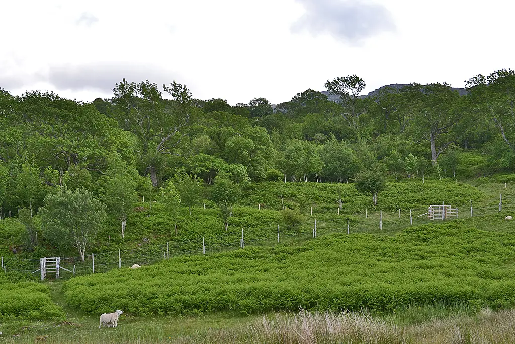
Plockton is the prettiest village on the west coast: a crescent of whitewashed houses with palm trees along the shore of Loch Carron, used as Lochdubh in Hamish Macbeth. From the station, the walk goes through the village and round the headland of Rubha Mòr, with views to the Applecross hills and Skye.
Route
-
1
The headland
Walk through the village and round Rubha Mòr, back to the station.
Summit
Questions about this walk
- How long does Plockton and Rubha Mòr take?
- Most walkers take 0.5–1 hours for the 2.1 km route, which has 70 m of ascent. That allows for short stops; give yourself longer in winter, in poor weather or with a group.
- Where does the walk start, and where can I park?
- It starts at Plockton station (grid reference NG 794 329). Car park in the village.
- Can I get there by public transport?
- Trains to Plockton on the Kyle line from Inverness. Check times on Traveline Scotland.
- How hard is it?
- It's graded easy. Village streets and a rough headland path.
- Can I take my dog?
- Yes, dogs are welcome on this walk. Keep them on a lead near livestock.
Walked this? Tell the next walker
No reviews, condition reports, walkers' photos or trip reports for this walk yet. Yours would be the first.